 vesseltracker.com
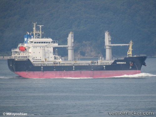
Vessel CAN S IMO: 9640889, MMSI: 636024566 Other Type
UTC, 41.73266, 32.07516, course: 65, speed: 13.2
UTC, 44.29345, 37.16521, course: 63, speed: 11.5
2026-03-24 07:55:42 UTC, 44.47776, 37.65322, course: 55, speed: 12.2
Live Vessel CAN S Analytics (details, animations, etc.)
Live AIS position: UTC. 11 nm S of Cpc Terminal), updated 2026-03-24 07:55:42 UTC.Find the position of the vessel CAN S on the map. The latter are known coordinates and path.
marine traffic ship tracker show on live map
The current position of vessel CAN S is 44.47776 lat / 37.65322 lng. Updated: 2026-03-24 07:55:42 UTCCurrently sailing under the flag of Liberia
Details:
Last coordinates of the vessel:
UTC, 41.73266, 32.07516, course: 65, speed: 13.2UTC, 41.73266, 32.07516, course: 65, speed: 13.2
UTC, 44.29345, 37.16521, course: 63, speed: 11.5
2026-03-24 07:55:42 UTC, 44.47776, 37.65322, course: 55, speed: 12.2