 vesseltracker.com
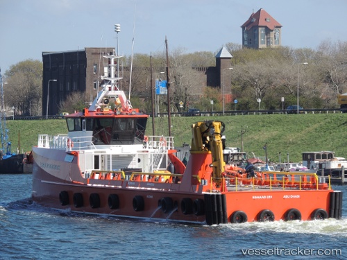
Vessel Esnaad 251 IMO: 9641546, MMSI: 470470000 Offshore Tug Supply Ship
UTC, 24.83366, 53.49905, course: 226, speed: 0
UTC, 24.84284, 53.65065, course: 151, speed: 0
2026-02-25 03:41:01 UTC, 24.86513, 53.68633, course: 94, speed: 10
Live AIS position:
UTC. 26 nm N of Mubarraz Island),
updated 2026-02-25 03:41:01 UTC.
Find the position of the vessel Esnaad 251 on the map. The latter are known coordinates and path.
marine traffic ship tracker show on live map
The current position of vessel Esnaad 251 is 24.86513 lat / 53.68633 lng. Updated: 2026-02-25 03:41:01 UTCDetails:
Last coordinates of the vessel:
UTC, 24.83367, 53.49906, course: 226, speed: 0.1UTC, 24.83366, 53.49905, course: 226, speed: 0
UTC, 24.84284, 53.65065, course: 151, speed: 0
2026-02-25 03:41:01 UTC, 24.86513, 53.68633, course: 94, speed: 10