 vesseltracker.com
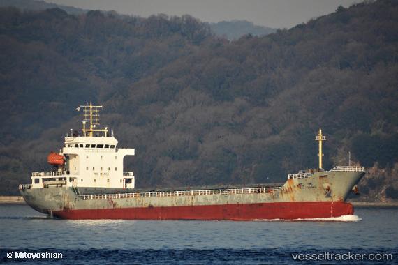
Vessel HE HUI IMO: 9648702, MMSI: 413277380 General Cargo Ship
UTC, 31.92733, 120.14618, course: 280, speed: 0.1
UTC, 31.92745, 120.14611, course: 280, speed: 0.1
2026-02-25 03:55:04 UTC, 31.92725, 120.14625, course: -1, speed: 0.3
Live AIS position:
UTC. Near Chengxi),
updated 2026-02-25 03:55:04 UTC.
Find the position of the vessel HE HUI on the map. The latter are known coordinates and path.
marine traffic ship tracker show on live map
The current position of vessel HE HUI is 31.92725 lat / 120.14625 lng. Updated: 2026-02-25 03:55:04 UTCCurrently sailing under the flag of China Peopless Republic
HE HUI built in 2012 year
Deadweight:
7800 tDetails:
Last coordinates of the vessel:
UTC, 31.92734, 120.14620, course: 280, speed: 0.1UTC, 31.92733, 120.14618, course: 280, speed: 0.1
UTC, 31.92745, 120.14611, course: 280, speed: 0.1
2026-02-25 03:55:04 UTC, 31.92725, 120.14625, course: -1, speed: 0.3