 vesseltracker.com
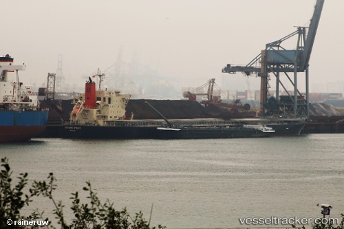
 CHRISEA
Current Status
Where is the vessel?
CHRISEA is currently in 277 nm W of Juazeiro-Pi, based on AIS data received about 1h ago.
Latest AIS update:
Current position: 4.75823° N, 46.29745° W (277 nm W of Juazeiro-Pi)
Average speed (last 7 days): Loading…
Average speed (last 30 days): Loading…
Vessel profile: CHRISEA is a Bulk Carrier with dimensions m x m.
This page combines live AIS, route history, probable destination signals, nearby traffic, and port activity for practical vessel monitoring.
The current position of vessel CHRISEA is 4.75823 lat / -46.29745 lng. Updated: 2026-03-25 17:24:41 UTCNearest reference points:
- 227 nm W of Juazeiro-Pi
Currently sailing under the flag of Marshall Islands ![]()
Details:
Live Vessel CHRISEA Analytics (details, animations, etc.)
Recent AIS points (UTC):
2026-03-25 11:33:22 UTC · 5.35986, -47.10512 · SOG 10.6 kn · COG 131°2026-03-25 14:05:21 UTC · 5.09817, -46.75523 · SOG 10 kn · COG 124°
2026-03-25 15:26:35 UTC · 4.96240, -46.56662 · SOG 10.4 kn · COG 124°
2026-03-25 17:24:41 UTC · 4.75823, -46.29745 · SOG 10.3 kn · COG 126°