 vesseltracker.com
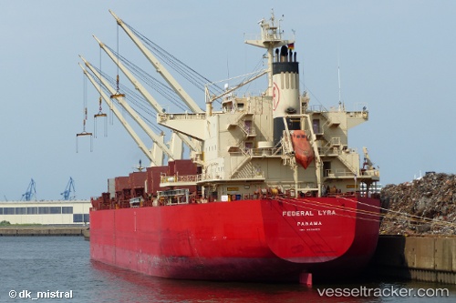
Vessel LYRA M IMO: 9668063, MMSI: 538011571 Bulk Carrier
UTC, 45.70206, -8.69549, course: 209, speed: 12.2
UTC, 45.28264, -9.06409, course: 208, speed: 12.1
2026-03-24 15:39:19 UTC, 44.98193, -9.31818, course: 210, speed: 12.7
Live Vessel LYRA M Analytics (details, animations, etc.)
Live AIS position: UTC. 91 nm N of Villanueva de Lorenzana), updated 2026-03-24 15:39:19 UTC.Find the position of the vessel LYRA M on the map. The latter are known coordinates and path.
marine traffic ship tracker show on live map
The current position of vessel LYRA M is 44.98193 lat / -9.31818 lng. Updated: 2026-03-24 15:39:19 UTCCurrently sailing under the flag of Marshall Islands
Details:
Last coordinates of the vessel:
UTC, 45.92806, -8.50527, course: 211, speed: 12.2UTC, 45.70206, -8.69549, course: 209, speed: 12.2
UTC, 45.28264, -9.06409, course: 208, speed: 12.1
2026-03-24 15:39:19 UTC, 44.98193, -9.31818, course: 210, speed: 12.7