 vesseltracker.com
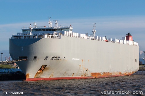
Vessel Genius Highway IMO: 9672416, MMSI: 311000102 Vehicles Carrier
UTC, 30.94181, 123.61025, course: 167, speed: 6.3
UTC, 31.05945, 123.60126, course: 359, speed: 7.1
2026-02-08 20:16:14 UTC, 31.18629, 123.62700, course: 100, speed: 1.2
Live AIS position:
UTC. 57 nm NE of Lü-hua Shan),
updated 2026-02-08 20:16:14 UTC.
Find the position of the vessel Genius Highway on the map. The latter are known coordinates and path.
marine traffic ship tracker show on live map
The current position of vessel Genius Highway is 31.18629 lat / 123.62700 lng. Updated: 2026-02-08 20:16:14 UTCCurrently sailing under the flag of Bahamas
Genius Highway built in 2014 year
Deadweight:
19974 tDetails:
Last coordinates of the vessel:
UTC, 31.12614, 123.60877, course: 178, speed: 7.3UTC, 30.94181, 123.61025, course: 167, speed: 6.3
UTC, 31.05945, 123.60126, course: 359, speed: 7.1
2026-02-08 20:16:14 UTC, 31.18629, 123.62700, course: 100, speed: 1.2