 vesseltracker.com
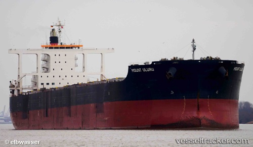
Vessel Mount Uluru IMO: 9675638, MMSI: 636017236 Bulk Carrier
UTC, 35.35878, 119.54616, course: 10, speed: 0
UTC, 35.35888, 119.54623, course: 10, speed: 0
2026-02-18 05:33:59 UTC, 35.35879, 119.54615, course: 9, speed: 0.1
Live AIS position:
UTC. Near Rizhao),
updated 2026-02-18 05:33:59 UTC.
Find the position of the vessel Mount Uluru on the map. The latter are known coordinates and path.
marine traffic ship tracker show on live map
The current position of vessel Mount Uluru is 35.35879 lat / 119.54615 lng. Updated: 2026-02-18 05:33:59 UTCCurrently sailing under the flag of Liberia
Mount Uluru built in 2014 year
Deadweight:
181513 tDetails:
Last coordinates of the vessel:
UTC, 35.35907, 119.54618, course: 9, speed: 0.1UTC, 35.35878, 119.54616, course: 10, speed: 0
UTC, 35.35888, 119.54623, course: 10, speed: 0
2026-02-18 05:33:59 UTC, 35.35879, 119.54615, course: 9, speed: 0.1