 vesseltracker.com
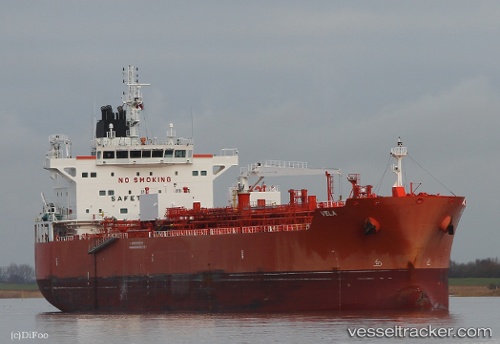
 VELA
VELA
Current Status
Where is the vessel?
VELA is currently in 46 nm SE of Karlskrona, based on AIS data received about 2h ago.
Latest AIS update:
Current position: 55.57822° N, 16.48100° E (46 nm SE of Karlskrona)
Average speed (last 7 days): Loading…
Average speed (last 30 days): Loading…
Vessel profile: VELA is a Tanker B with dimensions m x m.
This page combines live AIS, route history, probable destination signals, nearby traffic, and port activity for practical vessel monitoring.
The current position of vessel VELA is 55.57822 lat / 16.48100 lng. Updated: 2026-03-25 14:14:37 UTCNearest reference points:
- 31 nm NW of Ustka
- Near Karlskrona
- Near RONNEBY
Currently sailing under the flag of Singapore ![]()
Details:
Live Vessel VELA Analytics (details, animations, etc.)
Recent AIS points (UTC):
2026-03-25 07:35:39 UTC · 55.51753, 16.83270 · SOG 12 kn · COG -1°2026-03-25 09:25:58 UTC · 55.40470, 17.43040 · SOG 9.8 kn · COG 194°
2026-03-25 11:41:38 UTC · 55.53164, 16.75943 · SOG 10.6 kn · COG 280°
2026-03-25 14:14:37 UTC · 55.57822, 16.48100 · SOG 9.6 kn · COG -1°