 vesseltracker.com
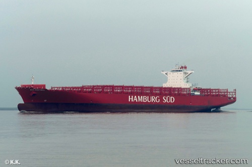
Vessel San Christobal IMO: 9699191, MMSI: 563051100 Container Ship
UTC, -29.87889, 31.01840, course: 258, speed: 0
UTC, -29.87889, 31.01838, course: 258, speed: 0
2026-02-11 15:22:49 UTC, -29.87891, 31.01838, course: 258, speed: 0
Live AIS position:
UTC. Near Island View),
updated 2026-02-11 15:22:49 UTC.
Find the position of the vessel San Christobal on the map. The latter are known coordinates and path.
marine traffic ship tracker show on live map
The current position of vessel San Christobal is -29.87891 lat / 31.01838 lng. Updated: 2026-02-11 15:22:49 UTCDetails:
Last coordinates of the vessel:
UTC, -29.87888, 31.01838, course: 258, speed: 0UTC, -29.87889, 31.01840, course: 258, speed: 0
UTC, -29.87889, 31.01838, course: 258, speed: 0
2026-02-11 15:22:49 UTC, -29.87891, 31.01838, course: 258, speed: 0