 vesseltracker.com
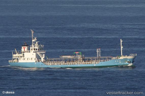
Vessel Mikasa IMO: 9701580, MMSI: 431005138 Oil Products Tanker
UTC, 32.48333, 131.77667, course: -1, speed: 11
UTC, 32.04333, 131.56833, course: -1, speed: 11
2026-02-11 18:27:37 UTC, 31.64833, 131.50833, course: -1, speed: 11
Live AIS position:
UTC. Near ABURATSU),
updated 2026-02-11 18:27:37 UTC.
Find the position of the vessel Mikasa on the map. The latter are known coordinates and path.
marine traffic ship tracker show on live map
The current position of vessel Mikasa is 31.64833 lat / 131.50833 lng. Updated: 2026-02-11 18:27:37 UTCCurrently sailing under the flag of Japan
Details:
Last coordinates of the vessel:
UTC, 32.84157, 132.04198, course: 212, speed: 11.2UTC, 32.48333, 131.77667, course: -1, speed: 11
UTC, 32.04333, 131.56833, course: -1, speed: 11
2026-02-11 18:27:37 UTC, 31.64833, 131.50833, course: -1, speed: 11