 vesseltracker.com
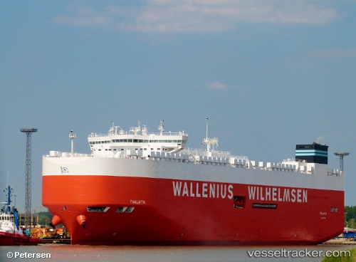
Vessel Thalatta IMO: 9702455, MMSI: 229710000 Vehicles Carrier
UTC, 52.66504, 3.53543, course: 217, speed: 18.8
UTC, 52.09312, 2.83575, course: 220, speed: 19.2
2026-02-13 20:10:16 UTC, 51.68837, 2.28729, course: 220, speed: 18
Live AIS position:
UTC. 18 nm E of Krieschow),
updated 2026-02-13 20:10:16 UTC.
Find the position of the vessel Thalatta on the map. The latter are known coordinates and path.
marine traffic ship tracker show on live map
The current position of vessel Thalatta is 51.68837 lat / 2.28729 lng. Updated: 2026-02-13 20:10:16 UTCCurrently sailing under the flag of Malta
Details:
Last coordinates of the vessel:
UTC, 53.15318, 4.33838, course: 227, speed: 17.3UTC, 52.66504, 3.53543, course: 217, speed: 18.8
UTC, 52.09312, 2.83575, course: 220, speed: 19.2
2026-02-13 20:10:16 UTC, 51.68837, 2.28729, course: 220, speed: 18