 vesseltracker.com
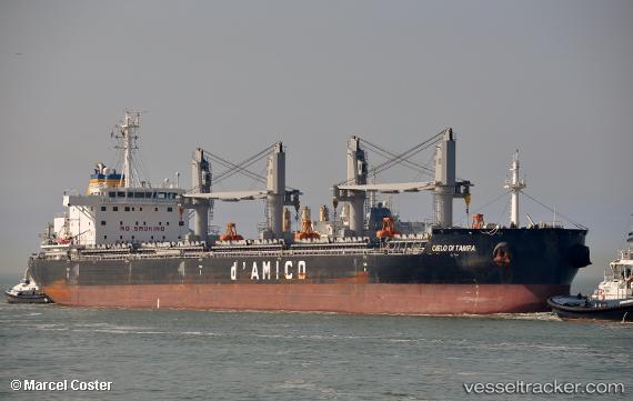
Vessel EVA OLDENDORFF IMO: 9707754, MMSI: 636093331 Cargo
UTC, -13.11488, 114.92917, course: 189, speed: 11.7
UTC, -13.59249, 114.84818, course: 189, speed: 11.5
2026-03-20 13:13:50 UTC, -13.83749, 114.80654, course: 188, speed: 11.5
Live Vessel EVA OLDENDORFF Analytics (details, animations, etc.)
Live AIS position: UTC. 305 nm S of Selat Lombok), updated 2026-03-20 13:13:50 UTC.Find the position of the vessel EVA OLDENDORFF on the map. The latter are known coordinates and path.
marine traffic ship tracker show on live map
The current position of vessel EVA OLDENDORFF is -13.83749 lat / 114.80654 lng. Updated: 2026-03-20 13:13:50 UTCCurrently sailing under the flag of Liberia
Details:
Last coordinates of the vessel:
UTC, -12.80035, 114.98477, course: 187, speed: 11.7UTC, -13.11488, 114.92917, course: 189, speed: 11.7
UTC, -13.59249, 114.84818, course: 189, speed: 11.5
2026-03-20 13:13:50 UTC, -13.83749, 114.80654, course: 188, speed: 11.5