 vesseltracker.com
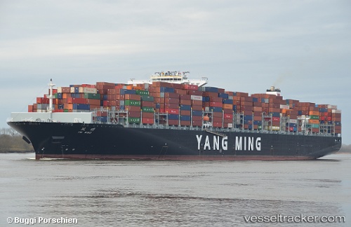
Vessel YM WIND IMO: 9708461, MMSI: 563291300 Cargo A
UTC, 9.77965, -16.98927, course: 145, speed: 15
UTC, 9.51040, -16.78835, course: 146, speed: 15.3
2026-03-24 13:56:53 UTC, 9.00340, -16.44897, course: 143, speed: 15.4
Live Vessel YM WIND Analytics (details, animations, etc.)
Live AIS position: UTC. 137 nm SW of Port de Boké), updated 2026-03-24 13:56:53 UTC.Find the position of the vessel YM WIND on the map. The latter are known coordinates and path.
marine traffic ship tracker show on live map
The current position of vessel YM WIND is 9.00340 lat / -16.44897 lng. Updated: 2026-03-24 13:56:53 UTCCurrently sailing under the flag of Singapore
Details:
Last coordinates of the vessel:
UTC, 10.28068, -17.32926, course: 147, speed: 15.2UTC, 9.77965, -16.98927, course: 145, speed: 15
UTC, 9.51040, -16.78835, course: 146, speed: 15.3
2026-03-24 13:56:53 UTC, 9.00340, -16.44897, course: 143, speed: 15.4