 vesseltracker.com
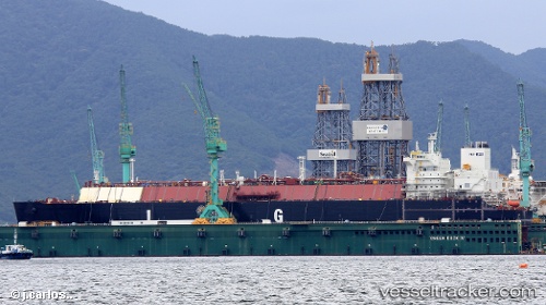
Vessel Flex Rainbow IMO: 9709037, MMSI: 538007620 Lng Tanker
UTC, 23.08821, -62.02643, course: 265, speed: 16.5
UTC, 23.05667, -62.43500, course: -1, speed: 16
2026-03-24 09:21:19 UTC, 23.01167, -62.96667, course: -1, speed: 16
Live Vessel Flex Rainbow Analytics (details, animations, etc.)
Live AIS position: UTC. 266 nm N of Sombrero), updated 2026-03-24 09:21:19 UTC.Find the position of the vessel Flex Rainbow on the map. The latter are known coordinates and path.
marine traffic ship tracker show on live map
The current position of vessel Flex Rainbow is 23.01167 lat / -62.96667 lng. Updated: 2026-03-24 09:21:19 UTCDetails:
Last coordinates of the vessel:
UTC, 23.12667, -61.30333, course: -1, speed: 16UTC, 23.08821, -62.02643, course: 265, speed: 16.5
UTC, 23.05667, -62.43500, course: -1, speed: 16
2026-03-24 09:21:19 UTC, 23.01167, -62.96667, course: -1, speed: 16