 vesseltracker.com
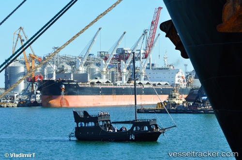
Vessel Tomini Harmony IMO: 9718131, MMSI: 538006509 Bulk Carrier
UTC, -26.23810, -48.63622, course: 47, speed: 0
UTC, -26.23667, -48.63500, course: -1, speed: 0
2026-02-17 11:28:57 UTC, -26.23811, -48.63624, course: 47, speed: 0
Live AIS position:
UTC. Near Sao Francisco Do Sul),
updated 2026-02-17 11:28:57 UTC.
Find the position of the vessel Tomini Harmony on the map. The latter are known coordinates and path.
marine traffic ship tracker show on live map
The current position of vessel Tomini Harmony is -26.23811 lat / -48.63624 lng. Updated: 2026-02-17 11:28:57 UTCCurrently sailing under the flag of Marshall Is
Details:
Last coordinates of the vessel:
UTC, -26.23810, -48.63622, course: 47, speed: 0UTC, -26.23810, -48.63622, course: 47, speed: 0
UTC, -26.23667, -48.63500, course: -1, speed: 0
2026-02-17 11:28:57 UTC, -26.23811, -48.63624, course: 47, speed: 0