 vesseltracker.com
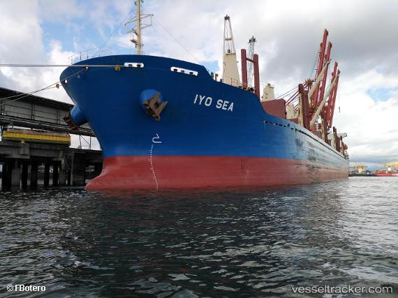
Vessel Iyo Sea IMO: 9722455, MMSI: 374275000 Bulk Carrier
UTC, -6.08118, 154.24664, course: 336, speed: 12.5
UTC, -5.70169, 154.07191, course: 332, speed: 12.4
2026-03-05 21:31:27 UTC, -5.43205, 153.94910, course: 333, speed: 11.7
Live Vessel Iyo Sea Analytics (details, animations, etc.)
Live AIS position: UTC. 77 nm SE of Lambom Island), updated 2026-03-05 21:31:27 UTC.Find the position of the vessel Iyo Sea on the map. The latter are known coordinates and path.
marine traffic ship tracker show on live map
The current position of vessel Iyo Sea is -5.43205 lat / 153.94910 lng. Updated: 2026-03-05 21:31:27 UTCCurrently sailing under the flag of Panama
Details:
Last coordinates of the vessel:
UTC, -6.42807, 154.42906, course: 333, speed: 12.4UTC, -6.08118, 154.24664, course: 336, speed: 12.5
UTC, -5.70169, 154.07191, course: 332, speed: 12.4
2026-03-05 21:31:27 UTC, -5.43205, 153.94910, course: 333, speed: 11.7