 vesseltracker.com
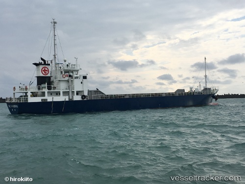
Vessel Ryoan Maru No.27 IMO: 9725354, MMSI: 431005402 General Cargo Ship
UTC, 42.65158, 141.69539, course: 246, speed: 0
UTC, 42.65156, 141.69537, course: 246, speed: 0
2026-02-11 07:25:40 UTC, 42.43408, 141.53003, course: 200, speed: 11.9
Live AIS position:
UTC. 11 nm SE of SHIRAOI),
updated 2026-02-11 07:25:40 UTC.
Find the position of the vessel Ryoan Maru No.27 on the map. The latter are known coordinates and path.
marine traffic ship tracker show on live map
The current position of vessel Ryoan Maru No.27 is 42.43408 lat / 141.53003 lng. Updated: 2026-02-11 07:25:40 UTCDetails:
Last coordinates of the vessel:
UTC, 42.65157, 141.69537, course: 245, speed: 0UTC, 42.65158, 141.69539, course: 246, speed: 0
UTC, 42.65156, 141.69537, course: 246, speed: 0
2026-02-11 07:25:40 UTC, 42.43408, 141.53003, course: 200, speed: 11.9