 vesseltracker.com
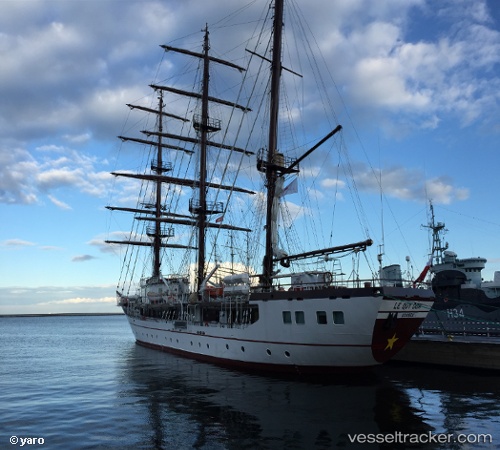
Vessel Nha Trang 15286 IMO: 9728100, MMSI: 574003480 Sailing Vessel
Live AIS position:
UTC. 184 nm NW of Sukabumi),
updated 2025-05-10 11:33:37 UTC.
Find the position of the vessel Nha Trang 15286 on the map. The latter are known coordinates and path.
marine traffic ship tracker show on live map
The current position of vessel Nha Trang 15286 is -64.25816 lat / 100.72523 lng. Updated: 2025-05-10 11:33:37 UTCDetails:
Last coordinates of the vessel:
2025-05-10 11:33:37 UTC, -64.25816, 100.72523, course: 10, speed: 55.5