 vesseltracker.com
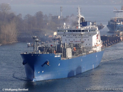
Vessel Yara Kara IMO: 9734836, MMSI: 258915000 Lpg Tanker
UTC, 33.33667, -35.86500, course: -1, speed: 16
UTC, 33.02667, -36.36667, course: -1, speed: 15
2026-03-24 14:11:16 UTC, 32.71500, -36.84667, course: -1, speed: 15
Live Vessel Yara Kara Analytics (details, animations, etc.)
Live AIS position: UTC. 76 nm W of Kafr Kanna), updated 2026-03-24 14:11:16 UTC.Find the position of the vessel Yara Kara on the map. The latter are known coordinates and path.
marine traffic ship tracker show on live map
The current position of vessel Yara Kara is 32.71500 lat / -36.84667 lng. Updated: 2026-03-24 14:11:16 UTCCurrently sailing under the flag of Norway
Details:
Last coordinates of the vessel:
UTC, 33.65833, -35.34333, course: -1, speed: 15UTC, 33.33667, -35.86500, course: -1, speed: 16
UTC, 33.02667, -36.36667, course: -1, speed: 15
2026-03-24 14:11:16 UTC, 32.71500, -36.84667, course: -1, speed: 15