 vesseltracker.com
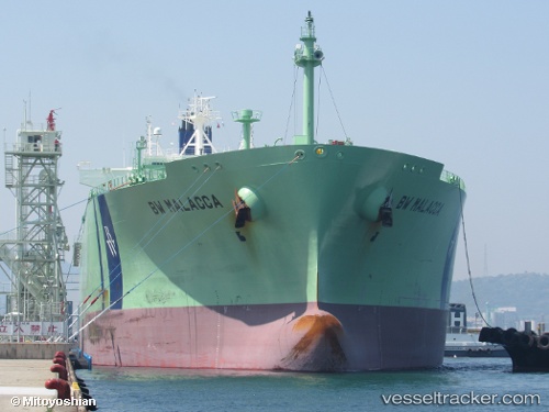
Vessel Bw Malacca IMO: 9735048, MMSI: 232004100 Lpg Tanker
UTC, -24.68217, 48.49189, course: 230, speed: 16.9
UTC, -24.89476, 48.22800, course: 229, speed: 17.5
2026-02-26 06:12:14 UTC, -25.43334, 47.54807, course: 234, speed: 17.8
Live AIS position:
UTC. 38 nm SE of Fort Dauphin),
updated 2026-02-26 06:12:14 UTC.
Find the position of the vessel Bw Malacca on the map. The latter are known coordinates and path.
marine traffic ship tracker show on live map
The current position of vessel Bw Malacca is -25.43334 lat / 47.54807 lng. Updated: 2026-02-26 06:12:14 UTCCurrently sailing under the flag of United Kingdom
Details:
Last coordinates of the vessel:
UTC, -24.28167, 49.00833, course: -1, speed: 17UTC, -24.68217, 48.49189, course: 230, speed: 16.9
UTC, -24.89476, 48.22800, course: 229, speed: 17.5
2026-02-26 06:12:14 UTC, -25.43334, 47.54807, course: 234, speed: 17.8