 vesseltracker.com
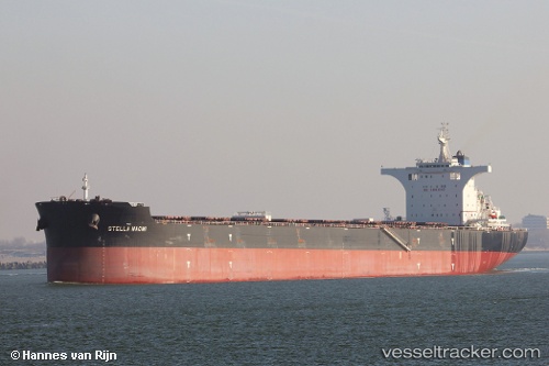
Vessel NAOMI IMO: 9750971, MMSI: 229585000 Bulk Carrier
UTC, 17.57853, 119.42619, course: -1, speed: 2.2
UTC, 17.59178, 119.43238, course: 170, speed: 1
2026-03-24 09:34:55 UTC, 17.60779, 119.44522, course: -1, speed: 0.8
Live Vessel NAOMI Analytics (details, animations, etc.)
Live AIS position: UTC. 54 nm W of Vigan), updated 2026-03-24 09:34:55 UTC.Find the position of the vessel NAOMI on the map. The latter are known coordinates and path.
marine traffic ship tracker show on live map
The current position of vessel NAOMI is 17.60779 lat / 119.44522 lng. Updated: 2026-03-24 09:34:55 UTCCurrently sailing under the flag of Malta
NAOMI built in 2016 year
Deadweight:
181031 tDetails:
Last coordinates of the vessel:
UTC, 17.74695, 119.69432, course: 229, speed: 10.6UTC, 17.57853, 119.42619, course: -1, speed: 2.2
UTC, 17.59178, 119.43238, course: 170, speed: 1
2026-03-24 09:34:55 UTC, 17.60779, 119.44522, course: -1, speed: 0.8