 vesseltracker.com
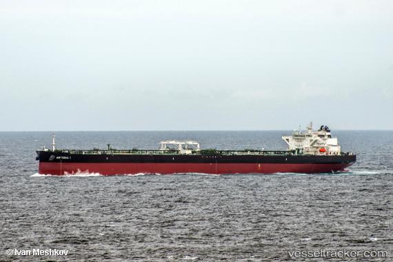
Vessel Antigua I IMO: 9753363, MMSI: 249611000 Crude Oil Tanker
UTC, 5.84244, 81.47789, course: 269, speed: 11.2
UTC, 5.81476, 81.11197, course: 275, speed: 11.1
2026-03-25 00:19:32 UTC, 5.81679, 80.71758, course: 269, speed: 11.3
Live Vessel Antigua I Analytics (details, animations, etc.)
Live AIS position: UTC. 10 nm S of Mawella), updated 2026-03-25 00:19:32 UTC.Find the position of the vessel Antigua I on the map. The latter are known coordinates and path.
marine traffic ship tracker show on live map
The current position of vessel Antigua I is 5.81679 lat / 80.71758 lng. Updated: 2026-03-25 00:19:32 UTCDetails:
Last coordinates of the vessel:
UTC, 5.84464, 81.87766, course: 272, speed: 11.2UTC, 5.84244, 81.47789, course: 269, speed: 11.2
UTC, 5.81476, 81.11197, course: 275, speed: 11.1
2026-03-25 00:19:32 UTC, 5.81679, 80.71758, course: 269, speed: 11.3