 vesseltracker.com
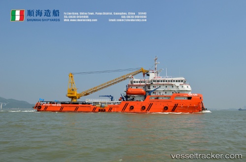
Vessel Icon Aliza IMO: 9765641, MMSI: 533130432 Offshore Tug Supply Ship
UTC, 5.02959, 115.07942, course: 235, speed: 0
UTC, 5.02454, 115.07219, course: 55, speed: 0.1
2026-02-10 14:31:34 UTC, 5.02455, 115.07217, course: 55, speed: 0
Live AIS position:
UTC. Near Muara),
updated 2026-02-10 14:31:34 UTC.
Find the position of the vessel Icon Aliza on the map. The latter are known coordinates and path.
marine traffic ship tracker show on live map
The current position of vessel Icon Aliza is 5.02455 lat / 115.07217 lng. Updated: 2026-02-10 14:31:34 UTCDetails:
Last coordinates of the vessel:
UTC, 5.02960, 115.07940, course: 235, speed: 0UTC, 5.02959, 115.07942, course: 235, speed: 0
UTC, 5.02454, 115.07219, course: 55, speed: 0.1
2026-02-10 14:31:34 UTC, 5.02455, 115.07217, course: 55, speed: 0