 vesseltracker.com
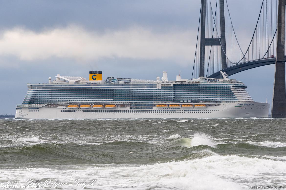
Vessel COSTA SMERALDA IMO: 9781889, MMSI: 247391900 Passenger Ship
UTC, 38.85865, 7.32442, course: 124, speed: 15.9
UTC, 38.73191, 7.59220, course: 122, speed: 16
2026-02-10 17:56:38 UTC, 38.38219, 8.31951, course: 125, speed: 15.3
Live AIS position:
UTC. 32 nm W of Setubal),
updated 2026-02-10 17:56:38 UTC.
Find the position of the vessel COSTA SMERALDA on the map. The latter are known coordinates and path.
marine traffic ship tracker show on live map
The current position of vessel COSTA SMERALDA is 38.38219 lat / 8.31951 lng. Updated: 2026-02-10 17:56:38 UTCCurrently sailing under the flag of Italy
Details:
Last coordinates of the vessel:
UTC, 39.21745, 6.57320, course: 122, speed: 16UTC, 38.85865, 7.32442, course: 124, speed: 15.9
UTC, 38.73191, 7.59220, course: 122, speed: 16
2026-02-10 17:56:38 UTC, 38.38219, 8.31951, course: 125, speed: 15.3