 vesseltracker.com
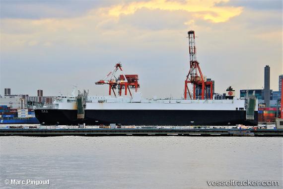
Vessel Kamikita Maru IMO: 9782077, MMSI: 431009595 Ro Ro Cargo Ship
UTC, 34.36053, 137.92661, course: 78, speed: 19
UTC, 34.52278, 138.92349, course: 68, speed: 19.4
2026-03-24 23:34:59 UTC, 34.83079, 139.35165, course: 54, speed: 19.4
Live Vessel Kamikita Maru Analytics (details, animations, etc.)
Live AIS position: UTC. 11 nm NW of Nishitokyo), updated 2026-03-24 23:34:59 UTC.Find the position of the vessel Kamikita Maru on the map. The latter are known coordinates and path.
marine traffic ship tracker show on live map
The current position of vessel Kamikita Maru is 34.83079 lat / 139.35165 lng. Updated: 2026-03-24 23:34:59 UTCCurrently sailing under the flag of Japan
Details:
Last coordinates of the vessel:
UTC, 34.24226, 137.19266, course: 77, speed: 19UTC, 34.36053, 137.92661, course: 78, speed: 19
UTC, 34.52278, 138.92349, course: 68, speed: 19.4
2026-03-24 23:34:59 UTC, 34.83079, 139.35165, course: 54, speed: 19.4