 vesseltracker.com
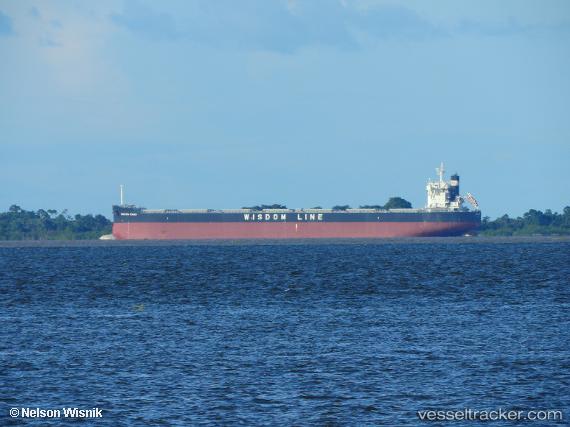
Vessel Sakizaya Power IMO: 9783136, MMSI: 372545000 Bulk Carrier
UTC, -33.73754, 31.14367, course: 76, speed: 11.2
UTC, -33.70535, 31.36460, course: 75, speed: 11.2
2026-03-24 19:43:07 UTC, -33.62801, 31.86343, course: 81, speed: 10.4
Live Vessel Sakizaya Power Analytics (details, animations, etc.)
Live AIS position: UTC. 168 nm SE of Port Saint John's), updated 2026-03-24 19:43:07 UTC.Find the position of the vessel Sakizaya Power on the map. The latter are known coordinates and path.
marine traffic ship tracker show on live map
The current position of vessel Sakizaya Power is -33.62801 lat / 31.86343 lng. Updated: 2026-03-24 19:43:07 UTCCurrently sailing under the flag of Panama
Details:
Last coordinates of the vessel:
UTC, -33.80554, 30.61807, course: 76, speed: 11.7UTC, -33.73754, 31.14367, course: 76, speed: 11.2
UTC, -33.70535, 31.36460, course: 75, speed: 11.2
2026-03-24 19:43:07 UTC, -33.62801, 31.86343, course: 81, speed: 10.4