 vesseltracker.com
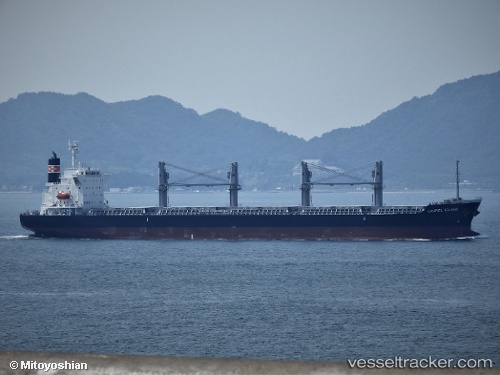
Vessel Laurel Island IMO: 9801158, MMSI: 356334000 Bulk Carrier
UTC, -32.05835, 32.59328, course: 64, speed: 11
UTC, -31.91579, 32.95482, course: 61, speed: 10.7
2026-02-09 00:22:42 UTC, -31.68940, 33.54325, course: 66, speed: 11.7
Live AIS position:
UTC. 166 nm SE of Sezela),
updated 2026-02-09 00:22:42 UTC.
Find the position of the vessel Laurel Island on the map. The latter are known coordinates and path.
marine traffic ship tracker show on live map
The current position of vessel Laurel Island is -31.68940 lat / 33.54325 lng. Updated: 2026-02-09 00:22:42 UTCCurrently sailing under the flag of Panama
Details:
Last coordinates of the vessel:
UTC, -32.18512, 32.24161, course: 64, speed: 10.4UTC, -32.05835, 32.59328, course: 64, speed: 11
UTC, -31.91579, 32.95482, course: 61, speed: 10.7
2026-02-09 00:22:42 UTC, -31.68940, 33.54325, course: 66, speed: 11.7