 vesseltracker.com
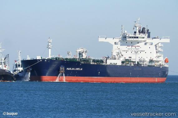
Vessel BANIYAS IMO: 9838228, MMSI: 538010453 Tanker
UTC, 37.29112, 4.04567, course: 260, speed: 13.6
UTC, 37.23522, 3.70110, course: 258, speed: 13.9
2026-02-27 20:35:28 UTC, 37.11683, 2.84363, course: 256, speed: 13.3
Live AIS position:
UTC. 16 nm N of Berja),
updated 2026-02-27 20:35:28 UTC.
Find the position of the vessel BANIYAS on the map. The latter are known coordinates and path.
marine traffic ship tracker show on live map
The current position of vessel BANIYAS is 37.11683 lat / 2.84363 lng. Updated: 2026-02-27 20:35:28 UTCCurrently sailing under the flag of Marshall Islands
Details:
Last coordinates of the vessel:
UTC, 37.36808, 4.69736, course: 260, speed: 13.7UTC, 37.29112, 4.04567, course: 260, speed: 13.6
UTC, 37.23522, 3.70110, course: 258, speed: 13.9
2026-02-27 20:35:28 UTC, 37.11683, 2.84363, course: 256, speed: 13.3