 vesseltracker.com
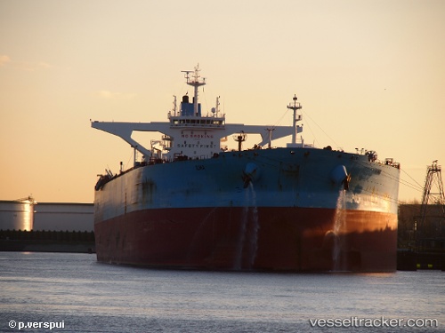
Vessel Ilma IMO: 9588392, MMSI: 205657000 Crude Oil Tanker
UTC, -24.49338, 76.89781, course: 59, speed: 11.6
UTC, -24.49338, 76.89781, course: 59, speed: 11.6
2026-03-04 16:04:25 UTC, -24.49338, 76.89781, course: 59, speed: 11.6
Live Vessel Ilma Analytics (details, animations, etc.)
Live AIS position: UTC. 359 nm E of Antofagasta), updated 2026-03-04 16:04:25 UTC.Find the position of the vessel Ilma on the map. The latter are known coordinates and path.
marine traffic ship tracker show on live map
The current position of vessel Ilma is -24.49338 lat / 76.89781 lng. Updated: 2026-03-04 16:04:25 UTCCurrently sailing under the flag of Belgium
Ilma built in 2012 year
Deadweight:
318477 tDetails:
Last coordinates of the vessel:
UTC, -24.51506, 76.85985, course: 57, speed: 11.6UTC, -24.49338, 76.89781, course: 59, speed: 11.6
UTC, -24.49338, 76.89781, course: 59, speed: 11.6
2026-03-04 16:04:25 UTC, -24.49338, 76.89781, course: 59, speed: 11.6