 vesseltracker.com
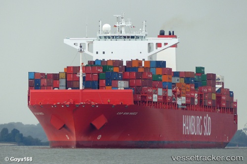
Vessel Cap San Marco IMO: 9622215, MMSI: 219101000 Container Ship
UTC, -32.51385, -51.37910, course: 207, speed: 15.9
UTC, -33.00833, -51.74833, course: -1, speed: 16
2026-03-05 03:38:18 UTC, -33.51485, -52.14985, course: 231, speed: 15.8
Live Vessel Cap San Marco Analytics (details, animations, etc.)
Live AIS position: UTC. 58 nm E of Mirim), updated 2026-03-05 03:38:18 UTC.Find the position of the vessel Cap San Marco on the map. The latter are known coordinates and path.
marine traffic ship tracker show on live map
The current position of vessel Cap San Marco is -33.51485 lat / -52.14985 lng. Updated: 2026-03-05 03:38:18 UTCCurrently sailing under the flag of Denmark
Cap San Marco built in 2013 year
Deadweight:
124453 tDetails:
Last coordinates of the vessel:
UTC, -32.15667, -51.09167, course: -1, speed: 16UTC, -32.51385, -51.37910, course: 207, speed: 15.9
UTC, -33.00833, -51.74833, course: -1, speed: 16
2026-03-05 03:38:18 UTC, -33.51485, -52.14985, course: 231, speed: 15.8