 vesseltracker.com
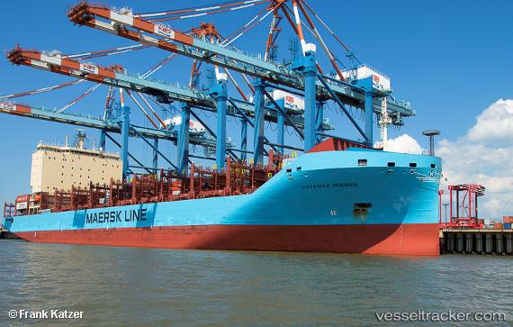
Vessel Vayenga Maersk IMO: 9775751, MMSI: 219110000 Container Ship
UTC, 31.21683, 32.35693, course: -1, speed: 0
UTC, 31.21667, 32.35667, course: -1, speed: 0
2026-03-04 23:46:20 UTC, 31.21683, 32.35692, course: -1, speed: 0
Live Vessel Vayenga Maersk Analytics (details, animations, etc.)
Live AIS position: UTC. Near Port Said East), updated 2026-03-04 23:46:20 UTC.Find the position of the vessel Vayenga Maersk on the map. The latter are known coordinates and path.
marine traffic ship tracker show on live map
The current position of vessel Vayenga Maersk is 31.21683 lat / 32.35692 lng. Updated: 2026-03-04 23:46:20 UTCCurrently sailing under the flag of Denmark
Details:
Last coordinates of the vessel:
UTC, 31.21685, 32.35692, course: -1, speed: 0UTC, 31.21683, 32.35693, course: -1, speed: 0
UTC, 31.21667, 32.35667, course: -1, speed: 0
2026-03-04 23:46:20 UTC, 31.21683, 32.35692, course: -1, speed: 0