 vesseltracker.com
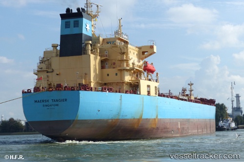
Vessel Maersk Tangier IMO: 9726451, MMSI: 219182000 Chemical Oil Products Tanker
UTC, -12.36798, 114.96137, course: 310, speed: 6.5
UTC, -12.15149, 114.96577, course: 39, speed: 8.9
2026-03-05 11:33:06 UTC, -11.88340, 115.27227, course: 58, speed: 10.6
Live Vessel Maersk Tangier Analytics (details, animations, etc.)
Live AIS position: UTC. 185 nm S of Selat Lombok), updated 2026-03-05 11:33:06 UTC.Find the position of the vessel Maersk Tangier on the map. The latter are known coordinates and path.
marine traffic ship tracker show on live map
The current position of vessel Maersk Tangier is -11.88340 lat / 115.27227 lng. Updated: 2026-03-05 11:33:06 UTCDetails:
Last coordinates of the vessel:
UTC, -12.46532, 115.01368, course: 331, speed: 7.5UTC, -12.36798, 114.96137, course: 310, speed: 6.5
UTC, -12.15149, 114.96577, course: 39, speed: 8.9
2026-03-05 11:33:06 UTC, -11.88340, 115.27227, course: 58, speed: 10.6