 vesseltracker.com
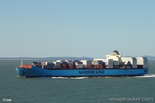
Vessel MAERSK LEBU IMO: 9526930, MMSI: 219509000 Container Ship
UTC, 54.44962, -166.57098, course: 277, speed: 18.9
UTC, 54.50532, -167.68961, course: 276, speed: 19.1
2026-03-05 05:47:55 UTC, 54.55982, -168.82210, course: 272, speed: 18.7
Live Vessel MAERSK LEBU Analytics (details, animations, etc.)
Live AIS position: UTC. 91 nm NW of Dutch Harbor), updated 2026-03-05 05:47:55 UTC.Find the position of the vessel MAERSK LEBU on the map. The latter are known coordinates and path.
marine traffic ship tracker show on live map
The current position of vessel MAERSK LEBU is 54.55982 lat / -168.82210 lng. Updated: 2026-03-05 05:47:55 UTCCurrently sailing under the flag of Denmark
Details:
Last coordinates of the vessel:
UTC, 54.40648, -165.86147, course: 279, speed: 19.1UTC, 54.44962, -166.57098, course: 277, speed: 18.9
UTC, 54.50532, -167.68961, course: 276, speed: 19.1
2026-03-05 05:47:55 UTC, 54.55982, -168.82210, course: 272, speed: 18.7