 vesseltracker.com
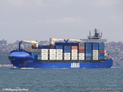
Vessel DIANE A IMO: 9385532, MMSI: 229142000 Container Ship
UTC, 31.19272, 29.70601, course: 39, speed: 0
UTC, 31.19249, 29.70634, course: 28, speed: 0
2026-03-05 09:30:26 UTC, 31.19230, 29.70684, course: 7, speed: 0
Live Vessel DIANE A Analytics (details, animations, etc.)
Live AIS position: UTC. Near EL DEKHEILA), updated 2026-03-05 09:30:26 UTC.Find the position of the vessel DIANE A on the map. The latter are known coordinates and path.
marine traffic ship tracker show on live map
The current position of vessel DIANE A is 31.19230 lat / 29.70684 lng. Updated: 2026-03-05 09:30:26 UTCCurrently sailing under the flag of Malta
DIANE A built in 2008 year
Deadweight:
26052 tDetails:
Last coordinates of the vessel:
UTC, 31.35925, 29.61340, course: -1, speed: 7UTC, 31.19272, 29.70601, course: 39, speed: 0
UTC, 31.19249, 29.70634, course: 28, speed: 0
2026-03-05 09:30:26 UTC, 31.19230, 29.70684, course: 7, speed: 0