 vesseltracker.com
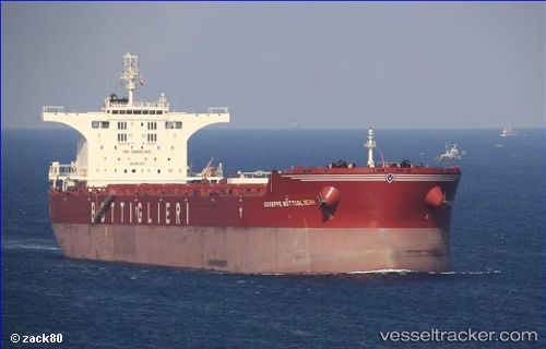
Vessel CAPE SEAGULL IMO: 9511337, MMSI: 232031388 Bulk Carrier
UTC, -20.54923, 117.35966, course: 149, speed: 0
UTC, -20.54899, 117.36018, course: 162, speed: 0
2026-03-04 21:49:10 UTC, -20.54935, 117.35950, course: 156, speed: 0
Live Vessel CAPE SEAGULL Analytics (details, animations, etc.)
Live AIS position: UTC. Near Port Walcot), updated 2026-03-04 21:49:10 UTC.Find the position of the vessel CAPE SEAGULL on the map. The latter are known coordinates and path.
marine traffic ship tracker show on live map
The current position of vessel CAPE SEAGULL is -20.54935 lat / 117.35950 lng. Updated: 2026-03-04 21:49:10 UTCCurrently sailing under the flag of United Kingdom
CAPE SEAGULL built in 2011 year
Deadweight:
175243 tDetails:
Last coordinates of the vessel:
UTC, -20.55167, 117.36333, course: -1, speed: 0UTC, -20.54923, 117.35966, course: 149, speed: 0
UTC, -20.54899, 117.36018, course: 162, speed: 0
2026-03-04 21:49:10 UTC, -20.54935, 117.35950, course: 156, speed: 0