 vesseltracker.com
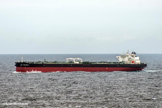
Vessel Antigua I IMO: 9753363, MMSI: 249611000 Crude Oil Tanker
UTC, 6.29316, 95.78454, course: -1, speed: 13.3
UTC, 6.28810, 96.14853, course: -1, speed: 13
2026-03-04 23:17:15 UTC, 6.26167, 96.47833, course: -1, speed: 12
Live Vessel Antigua I Analytics (details, animations, etc.)
Live AIS position: UTC. 69 nm NW of Krueng Geukueh), updated 2026-03-04 23:17:15 UTC.Find the position of the vessel Antigua I on the map. The latter are known coordinates and path.
marine traffic ship tracker show on live map
The current position of vessel Antigua I is 6.26167 lat / 96.47833 lng. Updated: 2026-03-04 23:17:15 UTCDetails:
Last coordinates of the vessel:
UTC, 6.31328, 95.26152, course: 90, speed: 13.2UTC, 6.29316, 95.78454, course: -1, speed: 13.3
UTC, 6.28810, 96.14853, course: -1, speed: 13
2026-03-04 23:17:15 UTC, 6.26167, 96.47833, course: -1, speed: 12