 vesseltracker.com
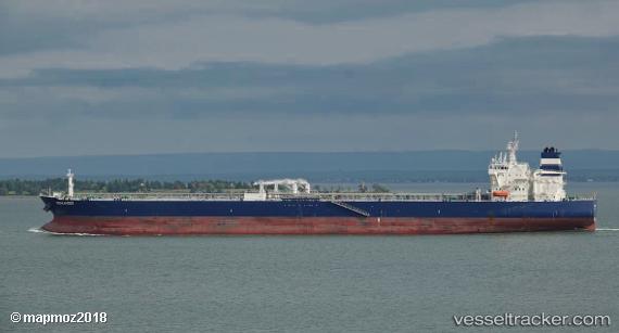
Vessel Searanger IMO: 9759800, MMSI: 249981000 Crude Oil Tanker
UTC, 26.46819, -78.82703, course: 334, speed: 2.6
UTC, 26.56833, -79.03333, course: -1, speed: 13
2026-03-04 23:53:01 UTC, 26.90833, -79.23667, course: -1, speed: 13
Live Vessel Searanger Analytics (details, animations, etc.)
Live AIS position: UTC. 20 nm NW of West End), updated 2026-03-04 23:53:01 UTC.Find the position of the vessel Searanger on the map. The latter are known coordinates and path.
marine traffic ship tracker show on live map
The current position of vessel Searanger is 26.90833 lat / -79.23667 lng. Updated: 2026-03-04 23:53:01 UTCDetails:
Last coordinates of the vessel:
UTC, 26.20610, -79.18626, course: 59, speed: 12.4UTC, 26.46819, -78.82703, course: 334, speed: 2.6
UTC, 26.56833, -79.03333, course: -1, speed: 13
2026-03-04 23:53:01 UTC, 26.90833, -79.23667, course: -1, speed: 13