 vesseltracker.com
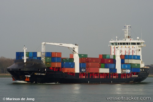
Vessel DIONYSSIS A IMO: 9356660, MMSI: 271050526 Container Ship
UTC, 37.13375, 8.55662, course: -1, speed: 12.6
UTC, 37.35191, 9.03940, course: -1, speed: 12.1
2026-03-04 22:07:02 UTC, 37.55730, 9.63496, course: 93, speed: 11.9
Live Vessel DIONYSSIS A Analytics (details, animations, etc.)
Live AIS position: UTC. 21 nm NW of BIZERTE), updated 2026-03-04 22:07:02 UTC.Find the position of the vessel DIONYSSIS A on the map. The latter are known coordinates and path.
marine traffic ship tracker show on live map
The current position of vessel DIONYSSIS A is 37.55730 lat / 9.63496 lng. Updated: 2026-03-04 22:07:02 UTCCurrently sailing under the flag of Turkey
DIONYSSIS A built in 2008 year
Deadweight:
12296 tDetails:
Last coordinates of the vessel:
UTC, 37.07163, 8.38486, course: 71, speed: 12.6UTC, 37.13375, 8.55662, course: -1, speed: 12.6
UTC, 37.35191, 9.03940, course: -1, speed: 12.1
2026-03-04 22:07:02 UTC, 37.55730, 9.63496, course: 93, speed: 11.9