 vesseltracker.com
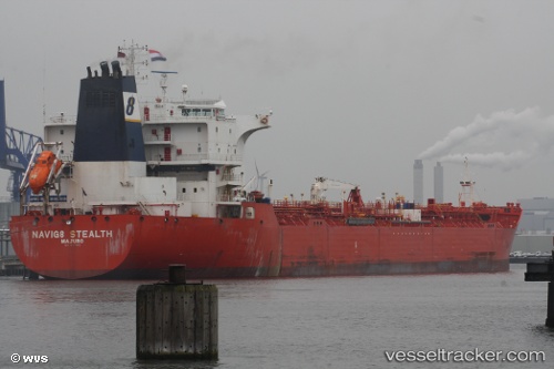
Vessel FAROG IMO: 9252072, MMSI: 306855000 Oil/Chemical Tanker
UTC, 27.44006, 51.86003, course: 11, speed: 0.1
UTC, 27.44007, 51.85994, course: 14, speed: 0.1
2026-03-02 13:32:57 UTC, 27.44080, 51.86159, course: 318, speed: 0.2
Live AIS position:
UTC. 23 nm SW of Tombak),
updated 2026-03-02 13:32:57 UTC.
Find the position of the vessel FAROG on the map. The latter are known coordinates and path.
marine traffic ship tracker show on live map
The current position of vessel FAROG is 27.44080 lat / 51.86159 lng. Updated: 2026-03-02 13:32:57 UTCCurrently sailing under the flag of Curacao
Details:
Last coordinates of the vessel:
UTC, 27.44023, 51.86107, course: 335, speed: 0.2UTC, 27.44006, 51.86003, course: 11, speed: 0.1
UTC, 27.44007, 51.85994, course: 14, speed: 0.1
2026-03-02 13:32:57 UTC, 27.44080, 51.86159, course: 318, speed: 0.2