 vesseltracker.com
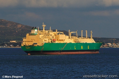
Vessel Lng Benue IMO: 9267015, MMSI: 310495000 Lng Tanker
UTC, 12.23764, 112.53286, course: -1, speed: 13.6
UTC, 12.23764, 112.53286, course: -1, speed: 13.6
2026-03-04 23:12:56 UTC, 13.29167, 113.30667, course: -1, speed: 14
Live Vessel Lng Benue Analytics (details, animations, etc.)
Live AIS position: UTC. 205 nm E of Tan Cang Qui Nhon), updated 2026-03-04 23:12:56 UTC.Find the position of the vessel Lng Benue on the map. The latter are known coordinates and path.
marine traffic ship tracker show on live map
The current position of vessel Lng Benue is 13.29167 lat / 113.30667 lng. Updated: 2026-03-04 23:12:56 UTCDetails:
Last coordinates of the vessel:
UTC, 12.23764, 112.53286, course: -1, speed: 13.6UTC, 12.23764, 112.53286, course: -1, speed: 13.6
UTC, 12.23764, 112.53286, course: -1, speed: 13.6
2026-03-04 23:12:56 UTC, 13.29167, 113.30667, course: -1, speed: 14