 vesseltracker.com
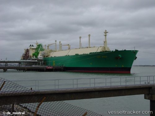
Vessel Lng Ondo IMO: 9311579, MMSI: 310550000 Lng Tanker
UTC, -5.03449, 3.74718, course: 157, speed: 13.8
UTC, -5.55951, 3.96518, course: 152, speed: 13.8
2026-03-05 08:26:15 UTC, -5.97360, 4.15094, course: 154, speed: 14.6
Live Vessel Lng Ondo Analytics (details, animations, etc.)
Live AIS position: UTC. 288 nm S of San Antonio de Palé), updated 2026-03-05 08:26:15 UTC.Find the position of the vessel Lng Ondo on the map. The latter are known coordinates and path.
marine traffic ship tracker show on live map
The current position of vessel Lng Ondo is -5.97360 lat / 4.15094 lng. Updated: 2026-03-05 08:26:15 UTCCurrently sailing under the flag of Bermuda
Lng Ondo built in 2007 year
Deadweight:
83688 tDetails:
Last coordinates of the vessel:
UTC, -4.46833, 3.51167, course: -1, speed: 13UTC, -5.03449, 3.74718, course: 157, speed: 13.8
UTC, -5.55951, 3.96518, course: 152, speed: 13.8
2026-03-05 08:26:15 UTC, -5.97360, 4.15094, course: 154, speed: 14.6