 vesseltracker.com
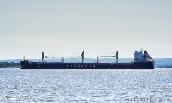
Vessel Narie IMO: 9767728, MMSI: 311000558 General Cargo Ship
UTC, 36.02331, 22.83347, course: -1, speed: 11.8
UTC, 36.02500, 22.27333, course: -1, speed: 11
2026-03-04 23:34:50 UTC, 36.03833, 21.99333, course: -1, speed: 11
Live Vessel Narie Analytics (details, animations, etc.)
Live AIS position: UTC. 41 nm SW of Areópolis), updated 2026-03-04 23:34:50 UTC.Find the position of the vessel Narie on the map. The latter are known coordinates and path.
marine traffic ship tracker show on live map
The current position of vessel Narie is 36.03833 lat / 21.99333 lng. Updated: 2026-03-04 23:34:50 UTCCurrently sailing under the flag of Bahamas
Details:
Last coordinates of the vessel:
UTC, 36.15425, 23.30985, course: -1, speed: 12UTC, 36.02331, 22.83347, course: -1, speed: 11.8
UTC, 36.02500, 22.27333, course: -1, speed: 11
2026-03-04 23:34:50 UTC, 36.03833, 21.99333, course: -1, speed: 11