 vesseltracker.com
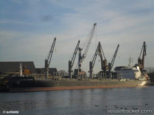
Vessel AFRICAN LOGRUNNER IMO: 9733258, MMSI: 311001205 Bulk Carrier
UTC, 35.00389, 120.76437, course: -1, speed: 12.3
UTC, 35.00389, 120.76437, course: -1, speed: 12.3
2026-03-04 22:39:28 UTC, 34.93167, 121.46667, course: -1, speed: 13
Live Vessel AFRICAN LOGRUNNER Analytics (details, animations, etc.)
Live AIS position: UTC. 88 nm E of CHENJIAGANG), updated 2026-03-04 22:39:28 UTC.Find the position of the vessel AFRICAN LOGRUNNER on the map. The latter are known coordinates and path.
marine traffic ship tracker show on live map
The current position of vessel AFRICAN LOGRUNNER is 34.93167 lat / 121.46667 lng. Updated: 2026-03-04 22:39:28 UTCCurrently sailing under the flag of Bahamas
AFRICAN LOGRUNNER built in 2015 year
Deadweight:
40481 tDetails:
Last coordinates of the vessel:
UTC, 35.08382, 120.26612, course: 98, speed: 12.4UTC, 35.00389, 120.76437, course: -1, speed: 12.3
UTC, 35.00389, 120.76437, course: -1, speed: 12.3
2026-03-04 22:39:28 UTC, 34.93167, 121.46667, course: -1, speed: 13