 vesseltracker.com
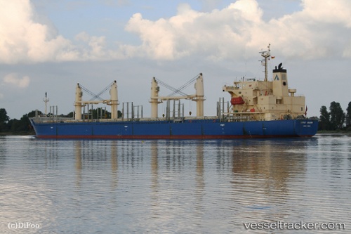
Vessel DSM HARBOUR IMO: 9268928, MMSI: 314952000 Bulk Carrier
UTC, 37.71765, 8.98579, course: -1, speed: 10.8
UTC, 37.67549, 8.67838, course: -1, speed: 10.6
2026-03-05 04:02:27 UTC, 37.56370, 8.13034, course: -1, speed: 11.4
Live Vessel DSM HARBOUR Analytics (details, animations, etc.)
Live AIS position: UTC. 30 nm NW of Estombar), updated 2026-03-05 04:02:27 UTC.Find the position of the vessel DSM HARBOUR on the map. The latter are known coordinates and path.
marine traffic ship tracker show on live map
The current position of vessel DSM HARBOUR is 37.56370 lat / 8.13034 lng. Updated: 2026-03-05 04:02:27 UTCCurrently sailing under the flag of Barbados
Details:
Last coordinates of the vessel:
UTC, 37.68667, 9.38667, course: -1, speed: 10UTC, 37.71765, 8.98579, course: -1, speed: 10.8
UTC, 37.67549, 8.67838, course: -1, speed: 10.6
2026-03-05 04:02:27 UTC, 37.56370, 8.13034, course: -1, speed: 11.4