 vesseltracker.com
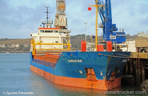
Vessel VERA ROSE IMO: 9114696, MMSI: 341838001 General Cargo
UTC, 36.70090, 36.19006, course: 243, speed: 0
UTC, 36.70092, 36.19007, course: 243, speed: 0
2026-02-28 07:33:37 UTC, 36.70090, 36.19006, course: 243, speed: 0
Live AIS position:
UTC. Near Isdemir),
updated 2026-02-28 07:33:37 UTC.
Find the position of the vessel VERA ROSE on the map. The latter are known coordinates and path.
marine traffic ship tracker show on live map
The current position of vessel VERA ROSE is 36.70090 lat / 36.19006 lng. Updated: 2026-02-28 07:33:37 UTCCurrently sailing under the flag of Saint Kitts and Nevis
Details:
Last coordinates of the vessel:
UTC, 36.70094, 36.19006, course: 243, speed: 0UTC, 36.70090, 36.19006, course: 243, speed: 0
UTC, 36.70092, 36.19007, course: 243, speed: 0
2026-02-28 07:33:37 UTC, 36.70090, 36.19006, course: 243, speed: 0