 vesseltracker.com
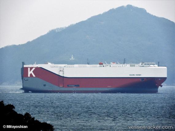
Vessel Niagara Highway IMO: 9832638, MMSI: 351983000 Vehicles Carrier
UTC, 37.41043, -47.00587, course: -1, speed: 14.4
UTC, 37.40500, -47.51333, course: -1, speed: 14
2026-03-05 06:06:23 UTC, 37.38500, -48.09667, course: -1, speed: 14
Live Vessel Niagara Highway Analytics (details, animations, etc.)
Live AIS position: UTC. 127 nm NE of Benahavis), updated 2026-03-05 06:06:23 UTC.Find the position of the vessel Niagara Highway on the map. The latter are known coordinates and path.
marine traffic ship tracker show on live map
The current position of vessel Niagara Highway is 37.38500 lat / -48.09667 lng. Updated: 2026-03-05 06:06:23 UTCDetails:
Last coordinates of the vessel:
UTC, 37.42883, -46.08324, course: -1, speed: 14UTC, 37.41043, -47.00587, course: -1, speed: 14.4
UTC, 37.40500, -47.51333, course: -1, speed: 14
2026-03-05 06:06:23 UTC, 37.38500, -48.09667, course: -1, speed: 14