 vesseltracker.com
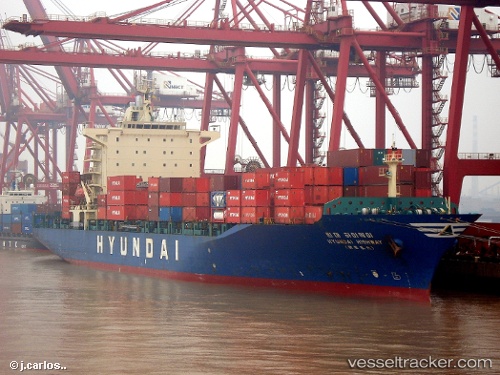
Vessel Highway IMO: 9158575, MMSI: 353848000 Container Ship
UTC, 13.06258, 100.88885, course: 240, speed: 0
UTC, 13.06261, 100.88889, course: 240, speed: 0
2026-03-04 23:44:52 UTC, 13.06256, 100.88875, course: 240, speed: 0
Live Vessel Highway Analytics (details, animations, etc.)
Live AIS position: UTC. Near Tips Container Terminal), updated 2026-03-04 23:44:52 UTC.Find the position of the vessel Highway on the map. The latter are known coordinates and path.
marine traffic ship tracker show on live map
The current position of vessel Highway is 13.06256 lat / 100.88875 lng. Updated: 2026-03-04 23:44:52 UTCDetails:
Last coordinates of the vessel:
UTC, 13.06264, 100.88881, course: 240, speed: 0UTC, 13.06258, 100.88885, course: 240, speed: 0
UTC, 13.06261, 100.88889, course: 240, speed: 0
2026-03-04 23:44:52 UTC, 13.06256, 100.88875, course: 240, speed: 0