 vesseltracker.com
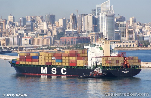
Vessel Msc Mandy IMO: 8918966, MMSI: 354537000 Container Ship
UTC, 45.10599, -9.32176, course: 210, speed: 17.6
UTC, 44.39687, -9.90230, course: 209, speed: 18.1
2026-03-04 19:45:56 UTC, 44.06829, -10.18161, course: 210, speed: 18.3
Live Vessel Msc Mandy Analytics (details, animations, etc.)
Live AIS position: UTC. 53 nm NW of Villanueva de Lorenzana), updated 2026-03-04 19:45:56 UTC.Find the position of the vessel Msc Mandy on the map. The latter are known coordinates and path.
marine traffic ship tracker show on live map
The current position of vessel Msc Mandy is 44.06829 lat / -10.18161 lng. Updated: 2026-03-04 19:45:56 UTCCurrently sailing under the flag of Panama
Msc Mandy built in 1993 year
Deadweight:
46852 tDetails:
Last coordinates of the vessel:
UTC, 45.64021, -8.87386, course: 209, speed: 18.5UTC, 45.10599, -9.32176, course: 210, speed: 17.6
UTC, 44.39687, -9.90230, course: 209, speed: 18.1
2026-03-04 19:45:56 UTC, 44.06829, -10.18161, course: 210, speed: 18.3