 vesseltracker.com
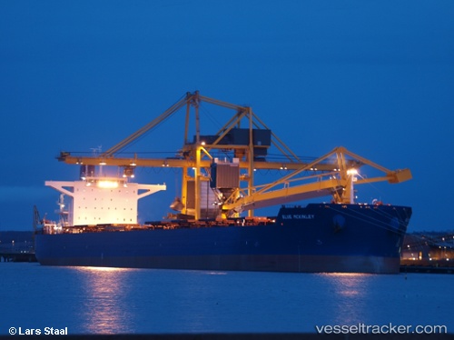
Vessel Phar Lap IMO: 9590694, MMSI: 370445000 Bulk Carrier
UTC, 18.94110, 120.65617, course: -1, speed: 9.5
UTC, 19.25348, 120.81924, course: -1, speed: 10
2026-03-04 19:50:22 UTC, 19.25348, 120.81924, course: -1, speed: 10
Live Vessel Phar Lap Analytics (details, animations, etc.)
Live AIS position: UTC. 43 nm N of Pasaleng, Luzon), updated 2026-03-04 19:50:22 UTC.Find the position of the vessel Phar Lap on the map. The latter are known coordinates and path.
marine traffic ship tracker show on live map
The current position of vessel Phar Lap is 19.25348 lat / 120.81924 lng. Updated: 2026-03-04 19:50:22 UTCCurrently sailing under the flag of Panama
Phar Lap built in 2011 year
Deadweight:
179276 tDetails:
Last coordinates of the vessel:
UTC, 18.45316, 120.43168, course: 21, speed: 9.4UTC, 18.94110, 120.65617, course: -1, speed: 9.5
UTC, 19.25348, 120.81924, course: -1, speed: 10
2026-03-04 19:50:22 UTC, 19.25348, 120.81924, course: -1, speed: 10