 vesseltracker.com
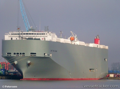
Vessel Cape Town Highway IMO: 9565558, MMSI: 372031000 Vehicles Carrier
UTC, 26.48969, 50.20502, course: 11, speed: 0
UTC, 26.48968, 50.20501, course: 11, speed: 0
2026-03-04 22:17:11 UTC, 26.48964, 50.20501, course: 11, speed: 0
Live Vessel Cape Town Highway Analytics (details, animations, etc.)
Live AIS position: UTC. Near Ad Dammam), updated 2026-03-04 22:17:11 UTC.Find the position of the vessel Cape Town Highway on the map. The latter are known coordinates and path.
marine traffic ship tracker show on live map
The current position of vessel Cape Town Highway is 26.48964 lat / 50.20501 lng. Updated: 2026-03-04 22:17:11 UTCCurrently sailing under the flag of Panama
Cape Town Highway built in 2011 year
Deadweight:
21676 tDetails:
Last coordinates of the vessel:
UTC, 26.48973, 50.20499, course: 11, speed: 0UTC, 26.48969, 50.20502, course: 11, speed: 0
UTC, 26.48968, 50.20501, course: 11, speed: 0
2026-03-04 22:17:11 UTC, 26.48964, 50.20501, course: 11, speed: 0